Overview
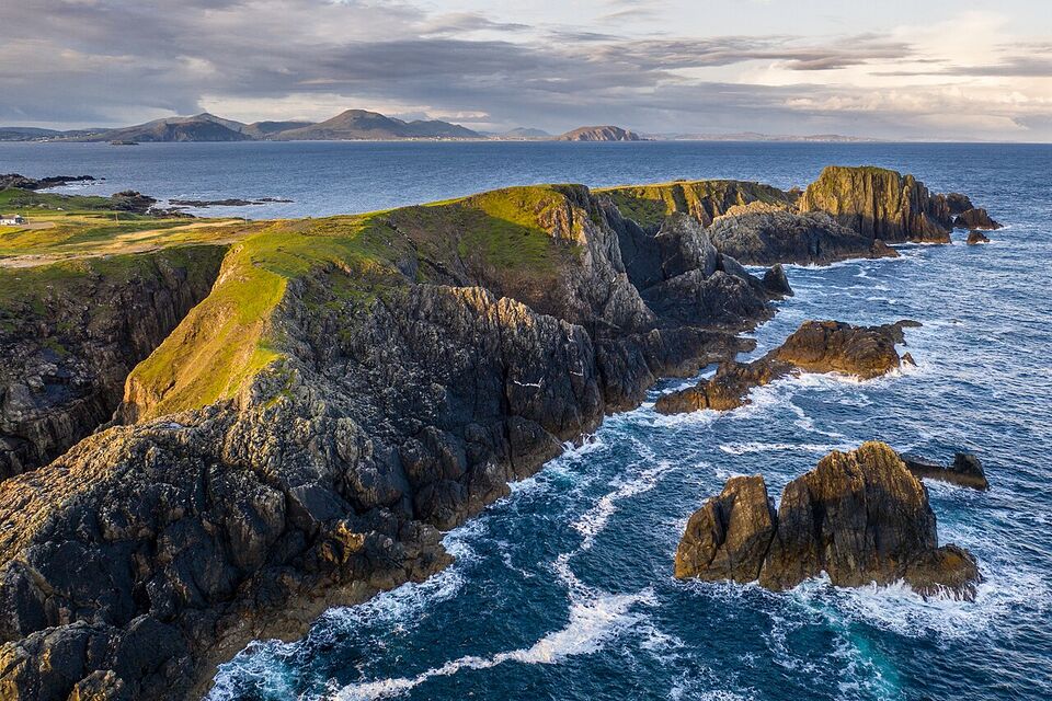
The Wild Atlantic Way is a signposted driving route about 2,500 km (1,553 miles) long that follows Ireland's west coast from the Inishowen Peninsula in County Donegal to Kinsale in County Cork. It passes through nine counties and three provinces, and it was launched as a tourism route in 2014. Counts of the viewing places differ by source: Discover Ireland, the tourism site run by Fáilte Ireland, refers to 180 stops, while Wikipedia counts 157 discovery points. "More than 150" is a fair summary.
It is not one road. It is a string of existing national, regional and local roads, joined by their own road signs, with viewing places called discovery points along the way. The practical result is that you can join it anywhere, leave it any time, and do whatever length suits you. This page explains the sections from north to south, the best stops, how long it really takes, what the weather does to it, and what to do if you do not want to drive the whole thing.
Different from home
Think of it less like Highway 1 in California and more like a collection of coastal back roads, many only a car and a half wide. The distances are in kilometers on the Republic's signs, and the speed limits are in km/h. Our driving in Ireland guide covers the rules before you go.
What it is, and what it is not
It is a route with a brand. Signs with the Wild Atlantic Way logo guide you along it, and discovery points, from big headlands to quiet beaches, are marked on the official map. Local councils and Fáilte Ireland tend to put viewing areas, parking and information boards at these points, though the facilities vary a lot.
It is not one continuous scenic highway, a theme park or a package. Large parts of it run on ordinary roads through towns, and some of the best views need a short walk. It is not safe to assume every discovery point has toilets, a café, signal or an open gate. And it is not a trip you can finish in a week: 2,500 km at an average of 60 km/h (37 mph) is about 40 hours behind the wheel before a single stop, which is our arithmetic, not an official figure.
The best way to use it is as a thread for choosing roads. Pick the section that fits your time, drive the coast road when the weather and light are good, and take the faster national road when you need to make up time. For where the route fits among other regions, see Ireland's destinations.
The main sections, north to south
Tourism bodies divide the route in several ways. For planning, we group it by area, following the order the route runs.
| Section | Counties | Known for | Good bases |
|---|---|---|---|
| Northwest | Donegal, Leitrim, Sligo | Malin Head (Ireland's most northerly point), Fanad Head, Slieve League, Mullaghmore, surf towns | Donegal Town, Sligo, Buncrana |
| West | Mayo, Galway | Céide Fields, Achill Island, Croagh Patrick, Killary Harbour, Connemara, the Aran Islands | Westport, Clifden, Galway |
| Mid-west | Clare, Limerick | The Burren, the Cliffs of Moher, Loop Head, Shannon dolphins | Doolin, Lahinch, Ennis |
| Southwest | Kerry, Cork | Dingle, Ring of Kerry, the Skelligs views, Beara, Mizen Head, Old Head of Kinsale | Dingle, Killarney, Kenmare, Kinsale |
The northwest is the quietest and the hardest to get to without a car. The west is the easiest to start, because Galway has trains and coaches. The mid-west is compact and gets very busy around the Cliffs of Moher. The southwest has the most peninsulas, so it needs the most days for the same number of miles.
The best stops
We choose by landscape and how well they fit into a reasonable day. Check opening hours with the operator before you go, since several are seasonal.
Slieve League
Discover Ireland promotes these as Europe's highest sea cliffs, though Croaghaun on Achill Island is higher. You can walk to viewpoints, or see them from the water on a boat tour. It is a long way from the south, so it suits a northern trip.
Connemara and Killary Harbour
Bogland, lakes and the Twelve Bens, with Kylemore Abbey on the way. See the Connemara guide for a full loop from Galway.
The Aran Islands
Three Irish-speaking islands off the Galway coast. Ferries run year-round from Rossaveel, about 23 miles west of Galway. See the Aran Islands guide.
The Cliffs of Moher and the Burren
The cliffs reach 702 ft (214 m). The Burren next door is a rock-pavement landscape with unusual plants. Details in the Cliffs of Moher guide.
Dingle Peninsula
A scenic loop around Slea Head with views of the Blasket Islands, and a town described as the country's largest Irish-speaking (Gaeltacht) town. See the Dingle guide.
The Ring of Kerry
A circuit of the Iveragh Peninsula from Killarney. It can be crowded in summer. See the Ring of Kerry guide.
Beara and Dursey Island
Discover Ireland says Dursey Island has the only cable car in Ireland, a trip of about 10 minutes. It is a good option if the Ring of Kerry looks too busy.
Mizen Head and Kinsale
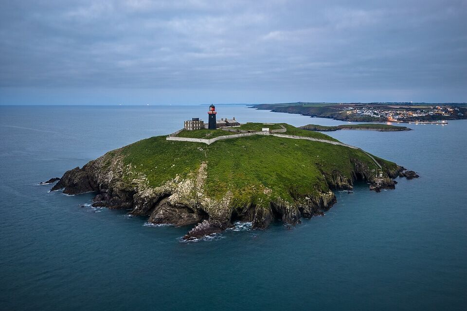
Mizen Head is often described as Ireland's southernmost point, and the Old Head of Kinsale and the town of Kinsale mark the route's end. See the Cork guide.
Two Kerry sights deserve a separate mention. Skellig Michael is closed until 2027: the Office of Public Works opened the 2026 season on May 9 and ended it on September 21 because of weather and sea conditions. The Skelligs Viewpoint on the mainland remains a discovery point, and the views do not need a boat. Also in Kerry, the Kerry International Dark Sky Reserve is one of the few gold-tier reserves in the northern hemisphere, according to Discover Ireland, so clear nights away from town lights can show a great many stars. Mayo has a dark sky park at Ballycroy.
Loops worth doing
If you do not want to drive far, choose a loop and spend a day or two inside it. These work well:
- The Connemara loop from Galway. Galway to Kylemore Abbey is about 1 hour 25 minutes by the abbey's own estimate. A day circuit takes in Clifden, Letterfrack and the Inagh Valley or Leenane. See Connemara.
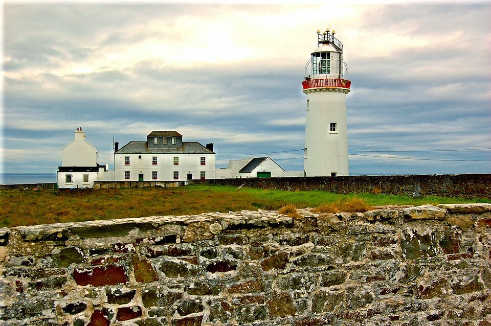
- Clare: the Cliffs, the Burren and Loop Head. A coastal circuit around Doolin and Lahinch, with Loop Head at the end for a quiet lighthouse peninsula on the Shannon estuary.
- The Dingle Peninsula and Slea Head. About a day around the peninsula, with plenty of photo stops. Allow more time in summer.
- The Ring of Kerry or a quieter alternative. The Ring is the famous one, and Beara is the quieter choice from Kenmare.
- Mayo's Achill Island and the Great Western Greenway. Achill is a large island reachable by road, and the greenway is a walking and cycling trail near Mulranny.
A loop also lets you leave your luggage in one hotel, which matters in July and August when one-night stays are harder to book.
How long it really takes
The route punishes ambition. The roads are slow, weather changes plans, and the best moments are often unplanned stops. Our rule of thumb for first-timers:
- 3 to 4 days: one compact area, such as Galway to the Cliffs of Moher, or Kerry's peninsulas.
- 7 to 10 days: Galway to Kerry, with Clare in between, using four bases.
- 10 to 14 days: Kinsale to Galway, or Galway to Westport and Sligo, at a relaxed pace.
- A month or more: the whole route, with time in each county and room for rain days.
These are our estimates, not official guidance, and they assume a car. Without one, expect to cover far less ground and to rely on a few hubs.
Weather, visibility and ferries
The Atlantic coast is the wettest and windiest part of Ireland. Galway records roughly 170 rain days a year, and Valentia Island in Kerry about 203, against about 137 for Dublin Airport. Wind and low cloud matter more than temperature: a headland can disappear in sea mist and cliff views can be lost even on a dry day. Daily highs run from about 48°F (9°C) in winter to about 67°F (19.5°C) in July in Galway, so layers and a waterproof shell are the norm in every month.
Weather also decides whether boats sail. The Skellig Michael season ended early in 2026 for that reason. Aran Island Ferries run year-round from Rossaveel, but any operator can cancel when seas are rough. Ferries to islands such as Inishbofin (from Cleggan in County Galway) and Dursey Island's cable car are similarly weather dependent. Never book a non-refundable day around a boat or a cable car.
Warnings come from Met Éireann (met.ie) in yellow, orange and red levels. The effect on sights is real: Connemara National Park closes its grounds during orange and red warnings, and the Cliffs of Moher centre follows the same warnings and evacuates in high winds. Check the day before and the morning of each outing.
Watch out
Cliff edges are real and unfenced in places. In a gale, do not walk beyond marked paths for a photo. If a site is closed for weather, the closure is for a reason.
Driving the narrow roads
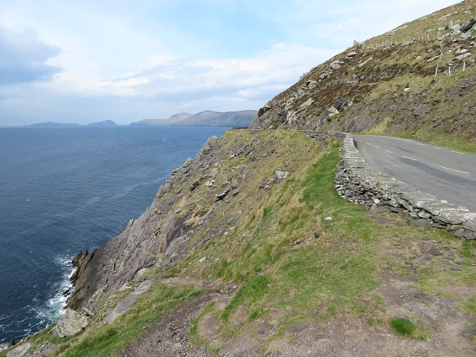
Most of the Wild Atlantic Way's best scenery is on regional (R) and local (L) roads. Rural local roads default to 60 km/h (about 37 mph) since February 2025, down from 80 km/h, and regional roads are 80 km/h (about 50 mph). Posted signs rule, and a sign with a black circle and a diagonal bar now means 60 km/h or lower on rural roads. You will rarely reach those limits on the narrowest roads.
- Drive on the left and stay left on bends, which is harder than it sounds on a narrow road with a wall on your left side.
- Pull into passing places or gateways and give way to oncoming traffic when it is easier for you to stop. A wave of thanks is normal.
- Expect coaches in summer on popular loops. Do not try to squeeze past; reverse to the nearest wide spot.
- Do not stop on the road for photos. Use a lay-by or discovery point.
- Treat sat-nav shortcuts with suspicion. The fastest route may be a single-track lane.
- Choose a smaller car. A compact is easier on narrow roads than an SUV, and an automatic is worth the extra cost if you are unused to a manual on the left. See car rental.
- In Irish-speaking areas (the Gaeltacht) road signs may show only the Irish place name. Download offline maps so you can match names.
- Refuel early. Petrol was about €1.97 a litre (about $8.35 a US gallon) in early November 2026, according to the EU weekly bulletin, and rural pumps can be far apart.
The full rules, including the toll at the M50 around Dublin and rental insurance, are in driving in Ireland.
Where to stop overnight
Choose bases in towns with several restaurants and a couple of choices of lodging, then use them for two nights. Hotels are priced in tiers: $ is under $120 a night for a double, $$ is $120 to $300 and $$$ is over $300. B&Bs often run roughly €60 to €150 a double (about $67 to $168), and prices in July and August are at the top of the range.
- Donegal Town and Sligo: northwest bases with a good choice of rooms, $ to $$.
- Westport: a lively Mayo town close to Croagh Patrick and Clew Bay, $$.
- Clifden: the best base for the Sky Road and the western end of Connemara, $ to $$. Many small places close in winter.
- Galway: the largest base on the coast, with trains, coaches and day tours. See Galway. $$ to $$$ in summer.
- Doolin and Lahinch: small villages, $ to $$, close to the cliffs and known for music and surf.
- Dingle, Killarney and Kenmare: the three main Kerry bases. See Dingle and Killarney.
- Kinsale: an easy end point with a harbor and many restaurants, near Cork.
Book July and August rooms months ahead. More options are in where to stay.
What is closed in winter
Winter is quiet rather than closed. Most roads, towns and coastal walks are open. What changes is the extras. The following are confirmed for 2026-27, and anything else should be checked with the operator.
- Skellig Michael: closed until 2027.
- Cliffs of Moher Experience: open 9 a.m. to 5 p.m. in November, December, January and February, and closed December 24 to 26. Some parts of the Cliffs Coastal Walk have been closed in recent years, so check cliffsofmoher.ie.
- Connemara National Park: the park is open all year and free, but the visitor centre is open Wednesday to Sunday, 9 a.m. to 5:30 p.m., closed Monday and Tuesday since July 1, 2026 (except bank holiday Mondays), and closed on Christmas Day and St. Stephen's Day.
- Kylemore Abbey: listed as open daily 10 a.m. to 5 p.m. in mid-November 2026, but the abbey's site lists closures on November 19 and December 24 to 26 (no year given). Confirm before you go.
- Aran Island Ferries: sailing in winter, with no services on December 25 and 26, 2026.
- Muckross Traditional Farms (Killarney): closed from November to February; the park and gardens are free.
Small B&Bs, cafés, tour operators and seasonal boat trips often shut for the winter, which is not something we can confirm place by place. Daylight in mid-December is only about 7.5 hours, so plan short driving days. Some travelers prefer winter for the empty roads and the chance of dark-sky viewing.
Insider tip
Winter and early spring can be good for the Wild Atlantic Way if you pick a base with a pub fire and plan one outdoor outing a day. Book accommodation that allows free cancellation in case a storm closes a road.
Public transport reality
No bus or train follows the Wild Atlantic Way as a route. Service is thinner the further you go from Galway, Limerick, Cork and Killarney. What works is a hub-and-day-trip plan:
- Galway: Dublin to Galway by train takes just under 3 hours. From Galway, Citylink route 923 runs to Clifden, and Bus Éireann route 419 serves Letterfrack, according to the national park. Check the timetables because winter service can differ.
- Clare: trains run Galway to Ennis and Limerick, about five or six each way per day. Buses serve Doolin and the Cliffs, but the schedule needs checking.
- Kerry: Killarney and Tralee have train links to Cork via Mallow, and local buses serve Dingle and the Ring. Tours are the easiest way to see the Ring without driving.
- The Aran Islands: the ferry company runs a shuttle from Victoria Place in Galway to Rossaveel; see Aran Island Ferries.
For the full picture of trains and buses, see getting around. Day tours from Galway, Killarney and Dingle fill the gaps, but prices and winter schedules vary, so compare what each includes.
A short plan and a long plan
Short plan: Galway to the Cliffs of Moher in 3 days
- Day 1
Connemara loop
Leave Galway early for Kylemore Abbey (about 1 hour 25 minutes), then Letterfrack, Clifden and the Sky Road. Return through the Inagh Valley or via the coast. Allow a full day.
- Day 2
Galway to Clare
Drive the M18 south toward Ennis, then west to the Burren and Doolin. Stop at limestone pavements and a pub with music in the evening.
- Day 3
Cliffs and Shannon
Visit the Cliffs of Moher when they open, before the coaches. Then drive to Shannon Airport (about 1 to 1.5 hours) or on to Kerry.
Long plan: Kinsale to Galway in 11 nights
- Nights 1-2
Kinsale and west Cork
Start at the route's southern end and take the Old Head and Mizen Head as day trips.
- Nights 3-4
Beara and Kenmare
Take the quieter Beara loop, then go on to Kenmare.
- Nights 5-6
Killarney and the Ring
Do the Ring of Kerry in a day, from Killarney.
- Night 7
Dingle
Drive Slea Head and listen for Irish in the pubs and shops.
- Nights 8-9
Clare
Cross the Shannon estuary (by car ferry if it is running, or by the road via Limerick) and spend two nights near Doolin.
- Nights 10-11
Galway and Connemara
Spend one night in Galway and one in Clifden. From Galway you can head home by train to Dublin, or continue north toward Westport.
These are samples, not schedules. Use the planning guide and the trip builder to adjust them, and add a rest day for every four driving days.
Mistakes to avoid
- Trying to do it all. The route is 2,500 km. Choose a section and give it time. You will see more by driving less.
- Setting a fixed daily mileage. A plan like "150 miles a day" fails on narrow roads, in bad weather or when a stop proves too good to leave. Plan by area and by hours instead.
- Assuming summer opening hours. Check hours, ferries and tours before you build a day around them.
- Ignoring the weather alerts. A red or orange warning means parks and cliff paths may be closed.
- Booking a different hotel every night. Two nights in each place saves hours of packing and driving.
- Leaving the left-side adjustment for later. Practice on quiet roads on the first day.
Save money
The route itself is free, and many discovery points, beaches and national parks have no charge. Where you do pay, book online: Cliffs of Moher gate admission is €15 (about $17) for an adult in 2026, and online prices are lower. Ferry fares from Rossaveel to the Aran Islands are €34 (about $38) return for an adult. See budget for a full cost picture.
Pack for four seasons in a day (packing), check when to go, and see outdoors for walks along the route. Many people also time their trip to a local event; see festivals.
Add it to a route in the trip builder, or ask us to plan the hotels, trains and guides for you.